| Alpine Walks | ||
| Pages
on this site: The Maritime Alps and the Riviera Normandy/Brittany |
Alpine Walks |
| Cherbourg to Aix En Provence: A two week tour through Brittany, the Loire, the Dordogne and Languedoc | |
|
|
|||||
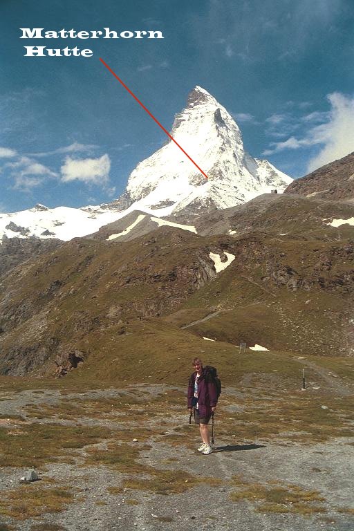
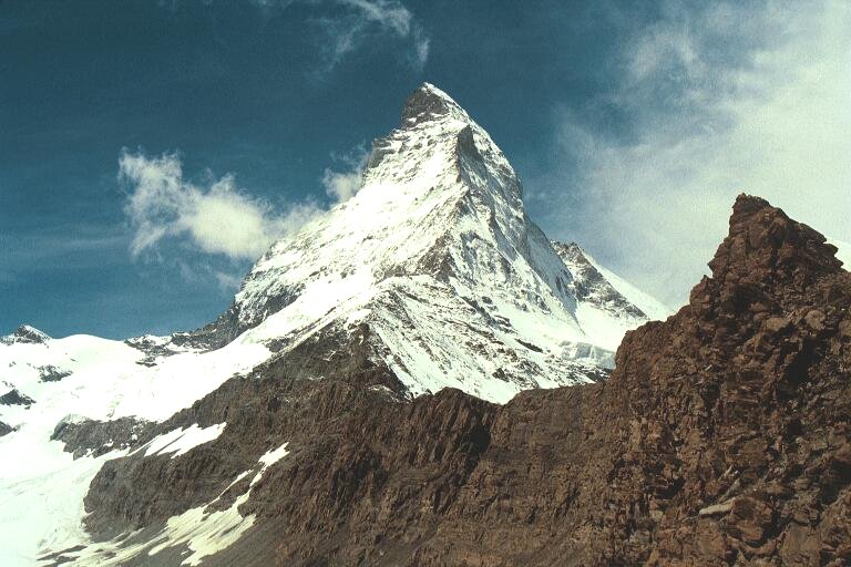
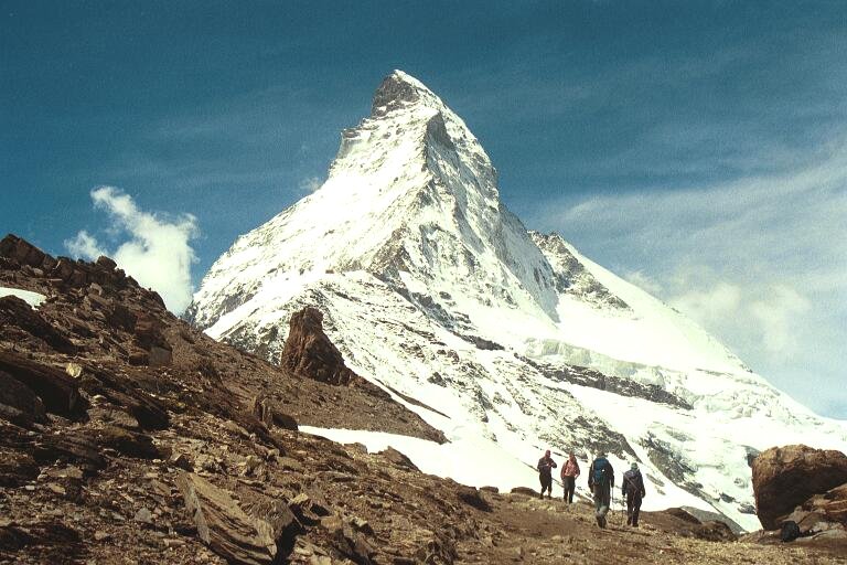
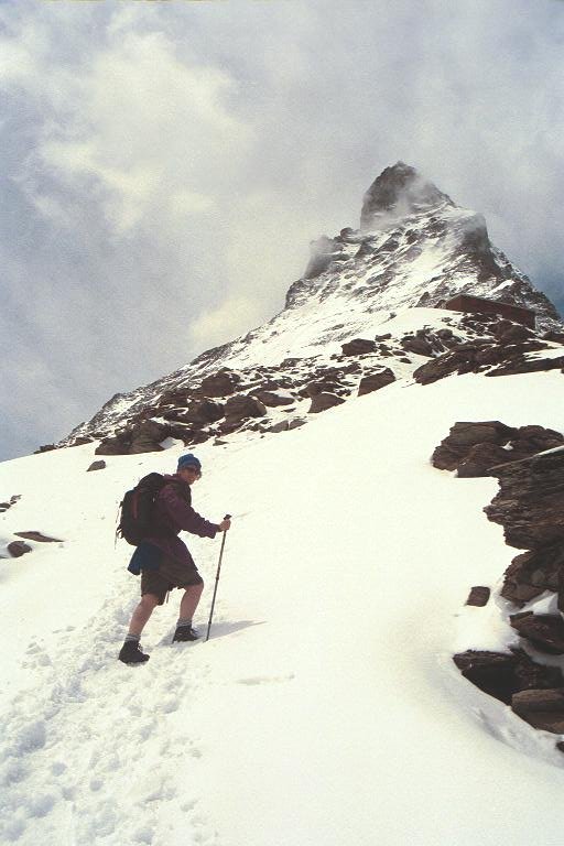
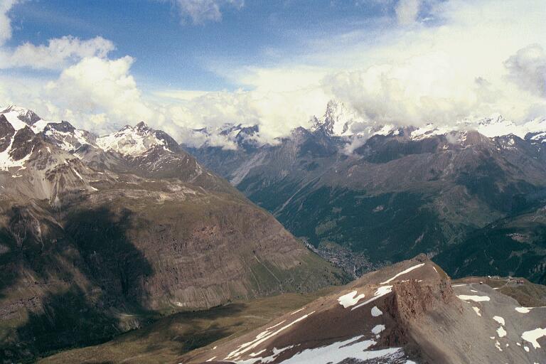
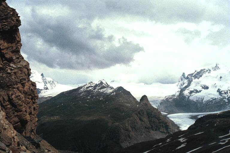
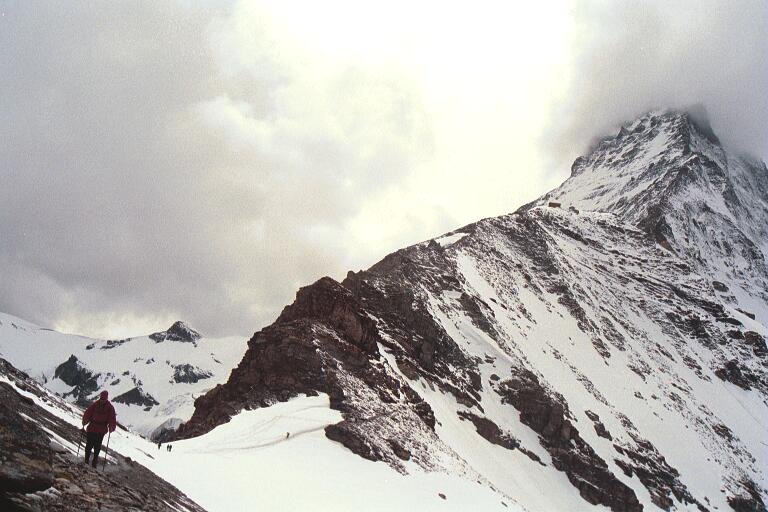
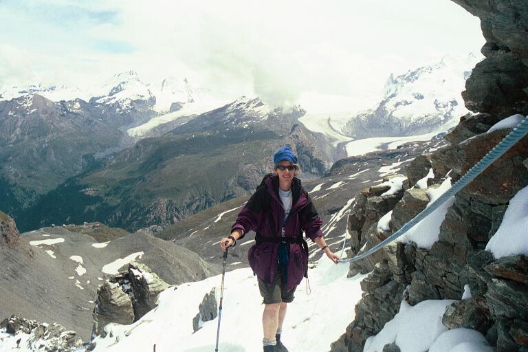
| Zermat - Schwarzee to Matterhorn Hutte (July 2001) | |||||
| The walk starts at the cablecar station at Schwarzee (2500m) and ends at the Matterhorn Hutte (3280m), where climbers stay overnight before attempting the summit. It was a lot snowier than normal for the time of year when we did the walk. | |||||
|
|
|
||||
|
|
|||||
|
Gorbio to
St Agnes (December 2001) |
|||||
|
|
|||||
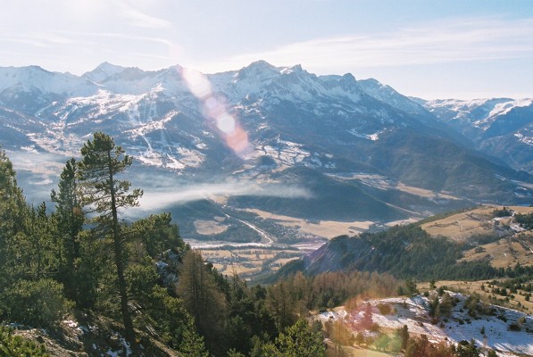
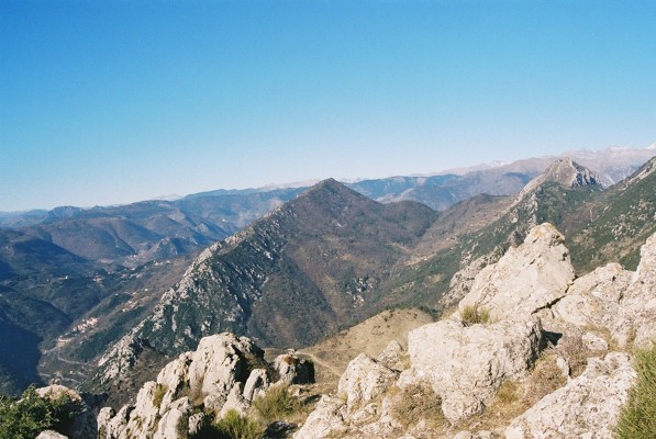
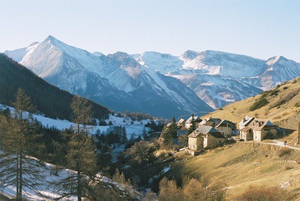
Castellar
(December 2001): The Summit of Roc d'Ormea by the GR52.
The first part of the walk up the unsealed road towards the church at St Bernard is pretty bland, but once on the GR52, it's much more attractive, passing through the remains of a village, together with ruined castle, then up to a forested saddle just below the summit. Great views to the coast and inland to the higher peaks from the summit, which is the highest in the area. |
|||||
|
|
|||||
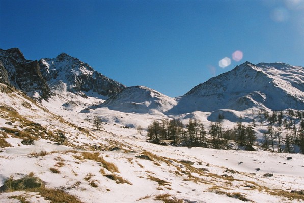
| Eglise
St-Cecile (January 2002): GR5 and GR 58. Eglise St-Cecile is about 10 kms from Guillestre, off the D902. It's a fairly unspoilt village with a very small ski run behind it. We were a bit pressed for time, but enjoyed this walk which took about two and a half hours. We followed the GR5 up the valley to Je Villard with good views of the peaks to the east. We then followed a path and and back above the village to the junction of the GR 58. Again, great views from this path to the south and, at its highest point back beyond Guillestre. |
|||||
|
|
|||||
 |
Faucon-de-Barcelonette
(January 2002): The Refuge Belmont.
The walk starts at the picnic ground near Bouzoulieres on the unsealed road above Faucon-de-Barcelonette. Although estremely cold in the valley (-20C), the walk was always in sunlight, with a little snow and ice. |
||||
|
|
|||||
|
|
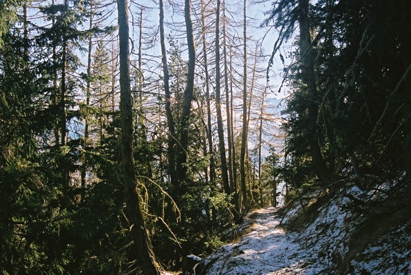
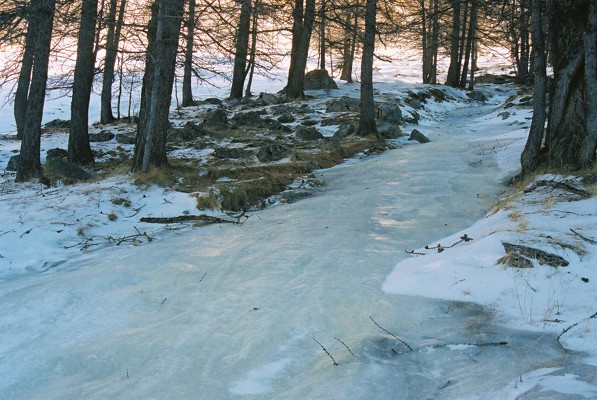
Fouillouse
(January 2002): The GR 5 towards the Col de Vallonnet and Col de Larche.
Easy walk up from the village, about an hour and a half to the base of the col. Pleasant cafe/restaurant in the vllage, run by a friendly old couple. Most of the walk was in snow, occasionally over frozen streams. |
||||
|
|
|||||